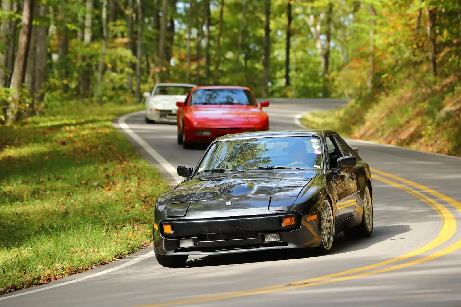
Oct 9-11, 2026 · Three group drives
The Drives
Three drives, three maps. Each day's page has the route on a live map, a turn list your passenger can read out loud, and a GPX file for turn-by-turn navigation.
Cell service out here comes and goes. Open the day's page before you leave, while you still have signal, and it saves the map and the turn list to your phone.
Friday · Oct 9
Look Rock & Tapoco
59 miles · about 2 hours of driving
Up the Dragon to Look Rock on the Foothills Parkway, then back down the Dragon to lunch at Tapoco Tavern.
Meet 9:15 AM at the Fontana Dam Visitors Center, top of the dam. Rolling by 9:45.
Saturday · Oct 10
The Cherohala Loop
141 miles · about 3¾ hours of driving
The Dragon, west to Vonore, then 41 miles of Cherohala Skyway home to lunch at Quill's Canteen.
Meet 9:15 AM at the Fontana Dam Visitors Center, same spot as Friday. Rolling by 9:45.
Sunday · Oct 11
Drive to 944Barn HQ
76 miles · about 2 hours of driving
South through Robbinsville and into Georgia for the Annual Barn Warming Party. There will be pizza.
Leaving 9:00 AM from the Fontana Village store.
Read this first
Before
you roll
Before you leave
Gas up
Make sure you have gas. Fontana Village has a gas station on site.
Eat first
Eat breakfast or bring snacks, especially for the Saturday drive. It can run a little late, depending on how long we stay at stops.
Bring water
Bring water to drink. Bring water for your car too, and check your fluids before leaving.
Bring radios
Bring a couple of radios if you have them. A lot of folks use standard Baofeng radios, and we sync everybody to the same channel at the drivers' meeting before we leave. Cell phone service is generally not available through most of the Dragon.
On the road
Public roads, not a race
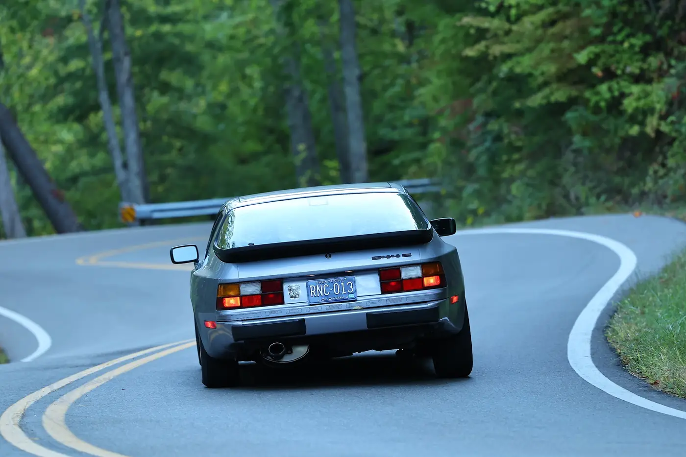
These are public roads, and this is not a race. You are responsible for your own driving, your car, your moving violations, and your overall safety.
Let faster cars by
All throughout the Dragon there are pull-off areas. If there's a group of cars behind you wishing to move faster than you are, pull off for a second and let them pass. You can hop right back in behind them.
Mustard and mayo
The most important thing to keep in mind, for your safety and everyone else's, is the yellow and white lines. Out here they're the mustard and the mayo. Almost every turn on the Dragon is a switchback, and you must always stay in your lane, between the mustard and the mayo. You will see police officers on the Dragon, and the one thing they will chase you down and ticket you for is crossing into the oncoming lane.
If you break down
If you break down, overheat, the car shuts off unexpectedly, or there's any type of mechanical failure, get to the closest pull-off. Flag someone down heading back the other way to send the tow truck. There is a local tow service experienced in hooking up cars off the side of the Dragon, and they'll bring you back to Fontana. We can help get you going when the group gets back. No cell service means everyone out there, in every type of car (or bike), is on the buddy system, and they know it. You won't find a more friendly group of strangers willing to help each other.
Navigation with zero bars
Turn-by-turn that
sticks to our roads
Punch a destination into Google Maps and it picks the fastest road, which is rarely the road we came here for. OsmAnd is the app that will run our exact line, turn by turn.
It's free, and it keeps its maps on your phone, so it keeps calling turns with zero bars. Five minutes of setup on wifi before you leave and navigation is handled for the weekend.
-
Install OsmAnd
Free on iOS and Android. The free tier does everything we need.



-
Download the maps
Open OsmAnd and download North Carolina and Tennessee. Add Georgia if you're making Sunday's drive to 944Barn. Do this on wifi, they're big files.
-
Get our route into OsmAnd
On the day's page, tap Send to OsmAnd and pick OsmAnd in the share sheet. That's the whole step.
iPhone, read this: don't use the Import button inside OsmAnd. Last time, every GPX showed up greyed out there. If you downloaded the file instead, open it from the Files app, tap Share, and pick OsmAnd.
-
Navigate by track
In OsmAnd, open the track and hit "Navigate by track." Spoken turns on our exact route, and they keep coming with zero bars.
Take it offline
The route files
- Friday part 1 · Fontana Dam to Look Rock · 34 miles
- Friday part 2 · Look Rock to Tapoco Tavern · 25 miles
- Saturday · The Cherohala Loop · 141 miles
- Sunday · Fontana Village to 944Barn HQ · 76 miles
Friday comes as two files because the drive goes up and back on the same road, and navigation apps get confused when a route doubles back on itself. Start part 2 when we leave Look Rock.
On a phone, the Send to OsmAnd button next to each file is the sure path. The link itself is for computers, Garmins, and anyone who wants the file.
Garmin folks: these are standard GPX track files. If your unit takes GPX, it'll take these.