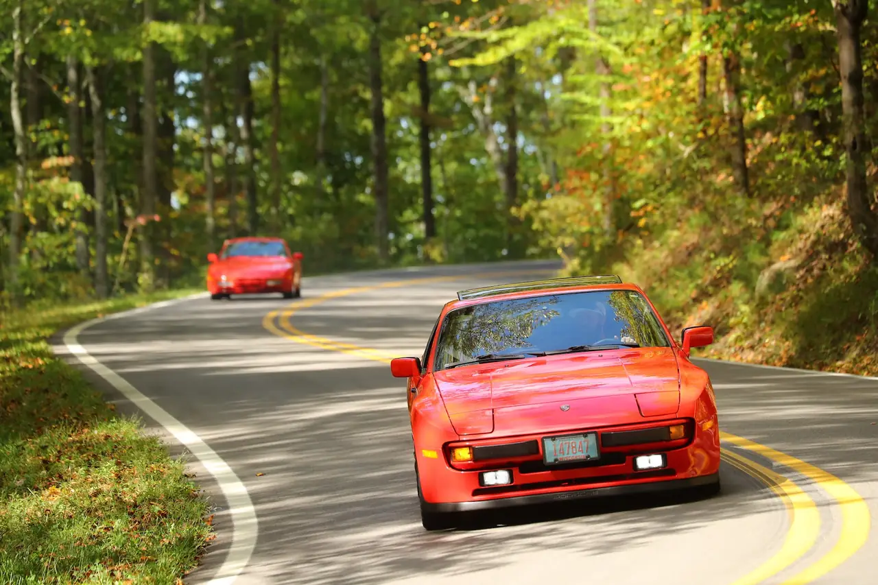
Saturday · Oct 10 · 141 miles
The Cherohala Loop
The long one. Up the Dragon, west to Vonore, then south to pick up the Cherohala Skyway for 41 miles back into North Carolina. Home through Robbinsville to lunch at Quill's Canteen. Figure about 3¾ hours of driving.
Meet 9:15 AM · Rolling by 9:45
Fontana Dam Visitors Center
Top of the dam, same spot as Friday.
Lunch · 1:30 PM
Quill's Canteen
Back at home base. Time is approximate.
Open this page before you leave, while you still have signal. It saves the map and the turn list to your phone for the dead zones. New to these roads? Read before you roll.
Tap the target to put your blue dot on the map. The screen has to stay on for the dot to keep moving.
Saturday · Fontana Dam and back to Fontana Village
Passenger reads,
driver drives
Show the turn list
Big number is the distance to the next turn. Small number is your trip odometer, so reset it at the START row.
- START Fontana Dam Visitors Center mile 0.0
- right away → LEFT on Fontana Dam Road mile 0.0
- 1.1 mi → becomes Fontana Road (NC 28) mile 1.1
- stay on Fontana Road (NC 28) for 11 miles
- 10.7 mi → End of road, RIGHT on Calderwood Highway (US 129) mile 11.8
- stay on Calderwood Highway (US 129) for 22 miles
- 22.1 mi → LEFT on State Highway 72 (SR 72) mile 33.9
- 3.2 mi → becomes Big Gully Road (SR 72) mile 37.1
- 5.9 mi → LEFT on Greenback Road (US 411 / SR 72) mile 43.0
- 2.6 mi → LEFT on SR 360 mile 45.6
- 7.2 mi → RIGHT on SR 360 mile 52.8
- 4.6 mi → LEFT on SR 360 mile 57.4
- stay on SR 360 for 10 miles
- 10.3 mi → End of road, LEFT on Cherohala Skyway (SR 165) mile 67.7
- stay on Cherohala Skyway (SR 165) for 41 miles
- 40.6 mi → becomes Santeetlah Road (NC 143) mile 108.3
- 6.8 mi → LEFT on Massey Branch Road (NC 143) mile 115.1
- 3.5 mi → RIGHT on Tapoco Road (US 129 / NC 143) mile 118.6
- 1.0 mi → becomes Rodney Orr Bypass (US 129 / NC 143) mile 119.6
- 0.4 mi → LEFT on Sweetwater Road (NC 143) mile 120.0
- 8.8 mi → LEFT on Fontana Road (NC 28) mile 128.8
- stay on Fontana Road (NC 28) for 10 miles
- 10.0 mi → LEFT on Fontana Road (NC 28) mile 138.8
- 1.2 mi → LEFT on Welch Road West mile 140.0
- 0.5 mi → ARRIVE Fontana Village mile 140.5
Want spoken turn-by-turn?
Punch the destination into Google Maps and it picks the fastest road, not ours. OsmAnd follows our exact line, turn by turn, and it keeps working with zero bars. Free, five minutes of setup, done before you leave. Send to OsmAnd opens your phone's share sheet with the route attached; pick OsmAnd there.