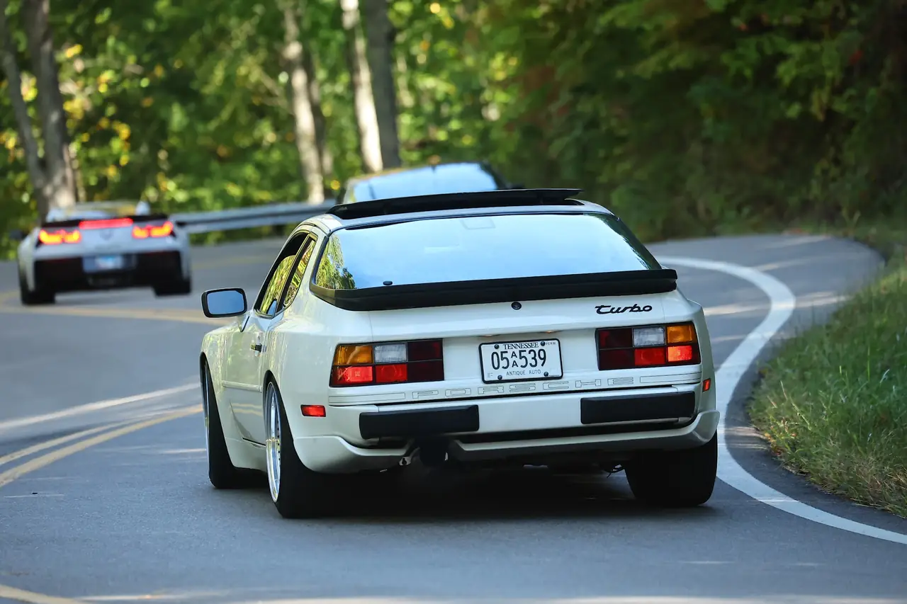
Friday · Oct 9 · 59 miles
Look Rock & Tapoco
Up the Dragon first thing, then the Foothills Parkway to the overlook at Look Rock. From there we turn around and run the Dragon the other direction, with an optional stop at the dragon store at Deals Gap, and land at Tapoco Tavern for lunch.
Meet 9:15 AM · Rolling by 9:45
Fontana Dam Visitors Center
Top of the dam.
Open this page before you leave, while you still have signal. It saves the map and the turn list to your phone for the dead zones. New to these roads? Read before you roll.
Tap the target to put your blue dot on the map. The screen has to stay on for the dot to keep moving.
Friday · Fontana Dam to Tapoco Tavern
Passenger reads,
driver drives
Show the turn list
Big number is the distance to the next turn. Small number is your trip odometer, so reset it at the START row.
- START Fontana Dam Visitors Center mile 0.0
- right away → LEFT on Fontana Dam Road mile 0.0
- 1.1 mi → becomes Fontana Road (NC 28) mile 1.1
- stay on Fontana Road (NC 28) for 11 miles
- 10.7 mi → End of road, RIGHT on Calderwood Highway (US 129) mile 11.8
- stay on Calderwood Highway (US 129) for 15 miles
- 15.0 mi → RIGHT on Foothills Parkway mile 26.8
- 7.3 mi → STOP Look Rock Lower Overlook mile 34.1
- 7.3 mi → LEFT on Calderwood Highway (US 129) mile 41.4
- stay on Calderwood Highway (US 129) for 18 miles
- Optional stop: the dragon store at Deals Gap. Then stay on US 129 toward Tapoco. mile 56.4
- 17.6 mi → RIGHT into Tapoco Lodge mile 59.0
- 0.1 mi → ARRIVE Tapoco Tavern mile 59.1
Want spoken turn-by-turn?
Punch the destination into Google Maps and it picks the fastest road, not ours. OsmAnd follows our exact line, turn by turn, and it keeps working with zero bars. Free, five minutes of setup, done before you leave. Send to OsmAnd opens your phone's share sheet with the route attached; pick OsmAnd there. Friday comes as two files because the drive goes up and back on the same road, and navigation apps get confused when a route doubles back on itself. Start part 2 when we leave Look Rock.